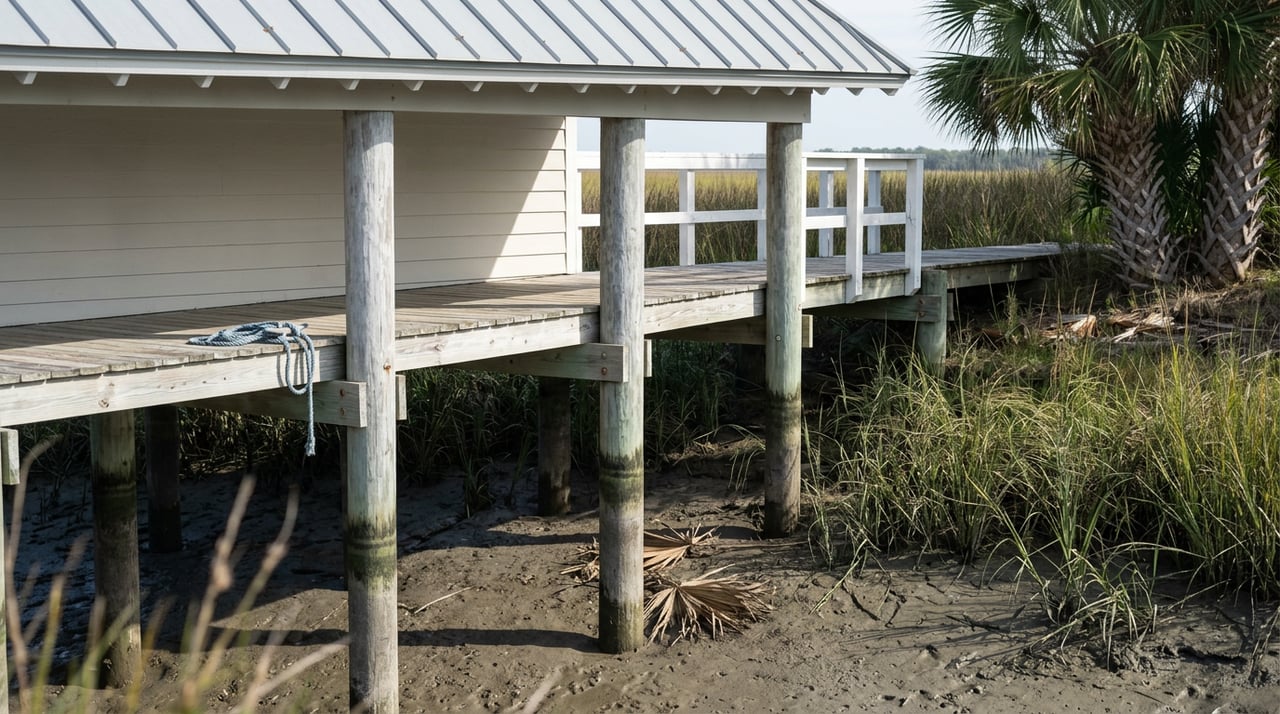
In 2020, a small group of homeowners along a canal near Marlin Quay Marina asked Horry and Georgetown counties for permission to tax themselves. Not for a school or a road. For dredging. Their creek had been filling in with silt for roughly two decades, and by the time they organized the vote, boats could only reach the ocean at high tide. One of the organizers, Ruell Hicks, put it plainly to a reporter: a number of the docks along that creek sat in pluff mud instead of water.
That story is six years old, but the underlying problem hasn't gone away. If you're comparing Murrells Inlet properties right now and one of your must-haves is a usable dock, the word "waterfront" on a listing sheet tells you almost nothing. What tells you something is the name of the specific creek or canal the property sits on, and whether that creek is inside a dredging project that Georgetown County has been trying to get permitted since 2023.
Two Different Dredging Projects, Only One Is Finished
Murrells Inlet has two distinct dredging efforts running on completely different timelines, and mixing them up is the easiest way to misjudge a property.
- The federal navigation channel, maintained by the Army Corps of Engineers, keeps the main entrance to the inlet open for boat traffic coming in from the ocean. This channel got a maintenance dredging in 2024, and the Corps has continued routine oversight of it into 2026.
- The side creeks, canals, and residential channels where most private docks actually sit are a separate, county-led project. Georgetown County applied for a permit to dredge more than 16 miles of these waterways back in 2023, targeting roughly 750,000 cubic yards of accumulated sand and silt. As of early 2026, that permit still hasn't been issued.
The front door to the inlet works. What happens once you turn off that main channel and head toward your own dock is a different question, and it's the one that actually affects a home's day-to-day usability.
As of a 2023 legislative update, State Rep. Lee Hewitt had already helped secure more than $14 million toward the estimated $30 to $35 million project cost, so funding was never the real holdup. Georgetown County Council chair Clint Elliott described the permitting delay to the Coastal Observer in February 2026:
"They keep coming back and asking for different stuff. They're basically stalling."
Elliott and other officials have also pointed to a separate but related issue: the weir in the middle of the inlet's north jetty, which was designed to keep sand from migrating in from the beachfront, sits too low to do its job. Sand keeps drifting into the inlet faster than anyone can permit a fix for the creeks it's filling in.
Check the Creek Name Before You Check the Comps
The county's dredging plan isn't a vague promise to "fix the inlet." It names specific waterways, grouped into what engineers call dredge units. One group covers Marina Colony, Flagg Point Canal, Mt. Gilead Canal, Inlet Harbor, and the channel near Marlin Quay Marina. A second group covers Parsonage Creek, Allston Creek, Oaks Creek, and several unnamed creek segments identified only by letter.
If you're touring a home and the listing mentions one of these names, you now have a concrete question to ask: is this creek inside the current permit application, and if so, has it been dredged yet or is it still waiting?
Not every segment is stuck at the same stage. Back in 2023, Oaks Creek was singled out for its own funded work using a portion of that state allocation, with an original target start in the fall or winter of 2025. That's a useful contrast even if you don't know whether that specific timeline held. It shows the project isn't purely theoretical on paper. Some creeks have had a funded, scheduled path forward. Others, including much of the main permit area, are still sitting behind a stalled federal review as of early 2026.
This is also why a generic "Murrells Inlet waterfront" search doesn't help you much. Two homes ten minutes apart, both technically on the water, can be in completely different positions depending on which named creek they front.
A Dredged Creek Still Doesn't Guarantee You a Dock
Even if the silt problem resolves, that doesn't automatically mean you can build, rebuild, or keep a private dock. South Carolina's Department of Environmental Services regulates every dock in the state's tidal creeks under its critical area permitting rules, and a few of those rules matter more than people expect.
Creeks narrower than 20 feet generally aren't eligible for dock structures at all, unless the property has at least 500 feet of water frontage or there's no possible dock access from the opposite bank. If the home you're considering sits in a planned subdivision, there may already be an approved Dock Master Plan on file with the state that spells out which lots qualify. If there isn't one, or if you're buying a lot outside a subdivision, you'll want to confirm eligibility before you assume a dock is part of the deal.
The agency also encourages shared docks between neighbors as a way to reduce the total number of structures on a given creek, which is worth knowing if the property you like doesn't have its own dock but sits next to one that does. Permit fees for a straightforward private dock application run a modest $150 to $250, but the review itself depends on creek width, frontage, and whether your specific waterway has an approved plan already in place. None of that shows up in an MLS photo.
What This Means If You're Comparing Homes
If dock access is part of why you're looking at Murrells Inlet instead of a condo closer to the beach, a few questions are worth asking before you get attached to a listing:
- Ask what the water depth is at the dock during mean low water, not just at high tide.
- Ask whether the creek name matches one of the segments in the county's active dredging permit, and if so, whether that segment has already been worked or is still pending.
- Ask whether the property has an existing dock permit on file, or whether it falls under an approved Dock Master Plan for the neighborhood.
- If there's no private dock, ask whether a shared or joint-use dock with a neighboring property is realistic given the creek's width and depth.
None of these questions require a hydrologist. They just require knowing that the answer changes by creek, not by neighborhood name.
A Short FAQ
Does every home on the water in Murrells Inlet have a legal dock? No. Dock eligibility depends on creek width, frontage, and whether the lot falls under an approved Dock Master Plan. Some waterfront lots, particularly on narrow creeks, may not qualify for a private dock at all.
If my street isn't in the dredging plan, does that mean my creek is fine? Not necessarily. The named dredge units cover the segments identified as part of the current county permit application, but siltation is an ongoing process throughout the inlet. A creek not named in this particular project can still have shallow spots worth checking before you rely on year-round boat access.
Is the main inlet entrance affected by this delay too? No. The federal navigation channel that connects Murrells Inlet to the ocean is maintained separately by the Army Corps of Engineers and had a maintenance dredging completed in 2024. The stalled project covers the residential creeks and canals off that main channel, where most private docks are located.
Can I just build a new dock if the current one doesn't work? You can apply, but approval isn't guaranteed. The state's critical area permitting office reviews every application against creek width and frontage rules, and having a Dock Master Plan on file for your neighborhood makes the process more predictable, though it still doesn't guarantee issuance.
If you're weighing a creekfront or marshfront property against a condo closer to the beach, or trying to figure out which Murrells Inlet street actually delivers the boat access you're picturing, I'd rather walk you through the specific creek than let a listing photo do the talking. Reach out to Jack Poznanski and let's connect before you write an offer.